Exploring and characterizing high-priority locations on the lunar surface require improved mobility systems and the use of high-resolution mapping and imagery. The highest resolution images acquired from lunar orbit have been output by the Narrow-Angled Camera (NAC) on board of NASA’s Lunar Reconnaissance Orbiter (LRO). Despite the NAC being capable of imaging at resolutions as low as 0.5 m/px, permanently shadowed regions (PSRs) have been mapped at a maximum resolution of 10-20 m/px due to the need for longer exposure times. Remote sensing from orbit has clear benefits when it comes to acquiring global measurements in a cost-effective manner. The data provided, however, is not of sufficient quality to pre-validate regions of interest for downstream scientific or commercial activities to follow.

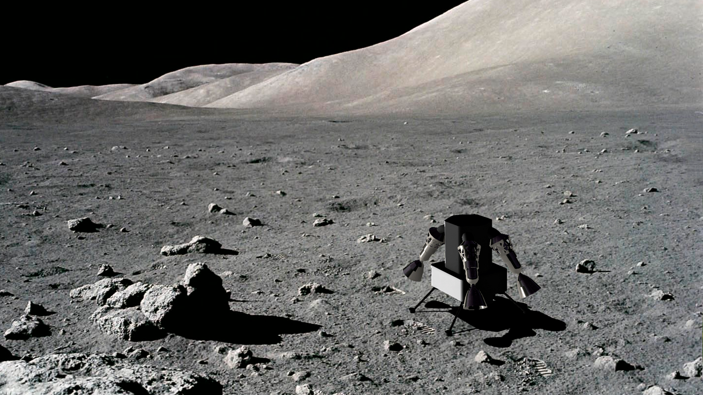
We are studying the potential deployment of an autonomous, lightweight, compact, and reusable reconnaissance drone for the exploration, characterization and high-resolution mapping of particularly challenging and pristine locations on the lunar surface. This drone is being designed to assist other on-ground robotic assets operating on the surface into inaccessible environments (e.g., lunar skylights) and across unstructured and dynamic terrains (e.g., extreme topography locations and PSRs).

If you are an EPFL student interested in this subject, check our available Semester and Master's Projects for the upcoming semester.